


ERDAS IMAGINE for image processing and analysis
Solutions for all your remote sensing, photogrammetry and geospatial analysis needs
Request information
ERDAS IMAGINE offers a comprehensive solution for all your geographic imaging and image processing needs, simplifying and streamlining your production workflow to save time, money and resources without sacrificing accuracy.


ERDAS IMAGINE simplifies image classification and segmentation, orthorectification, mosaics, reprojection, elevation extraction and image interpretation.
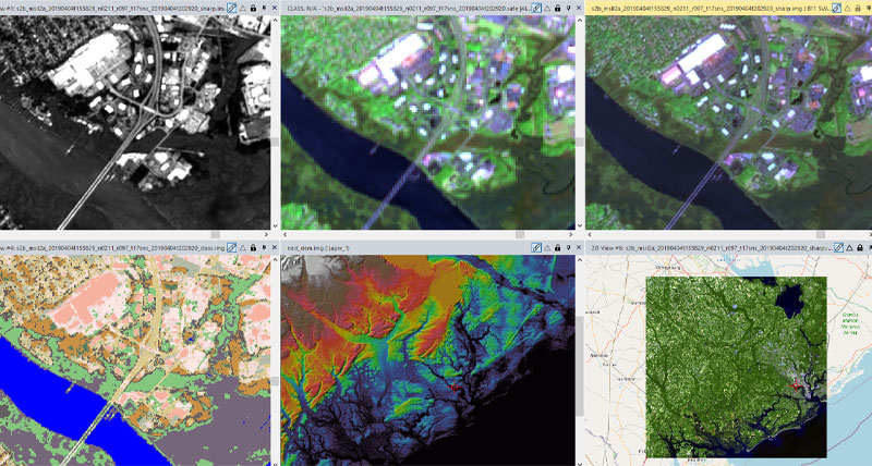
Powerful algorithms and data processing features work in the background so you can focus on your analysis.

ERDAS IMAGINE offers K-Means algorithms, ISODATA, object-based image segmentation, machine learning and deep learning artificial intelligence.

Spatial Modeler's graphical editing environment provides flexibility to capture domain experience and convert it into reusable algorithms.

ERDAS IMAGINE enables the visualization, editing and analysis of point clouds derived from LiDAR or stereo pair point correlation.
