

Smart digital realities undersea
White paper
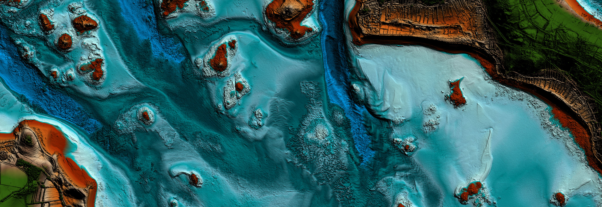
Using geospatial data offshore
With the proliferation of IoT sensors in the maritime environment, commanders have more data available to them than ever before. This data can be in real time or near real time, allowing commanders a view of what is happening now in their areas of interest.
Digital twins have existed for many years, in the form of C2, charts, models and more. However, they are often a historical view of data and state of a situation. With real-time data feeds, the digital twin becomes a Smart Digital Reality - a view on what is happening now.
In this white paper, learn how:
- Having full knowledge of data provides a complete line of sight to every situation
- A Smart Digital Reality can give commanders decisive advantages
- Collation of differing data sources helps provide real-time situational awareness above and below the water
Download the white paper now.